Bridlepath
Introduction
The photograph on this page of Bridlepath by David Medcalf as part of the Geograph project.
The Geograph project started in 2005 with the aim of publishing, organising and preserving representative images for every square kilometre of Great Britain, Ireland and the Isle of Man.

There are currently over 7.5m images from over 14,400 individuals and you can help contribute to the project by visiting https://www.geograph.org.uk
Bridlepath
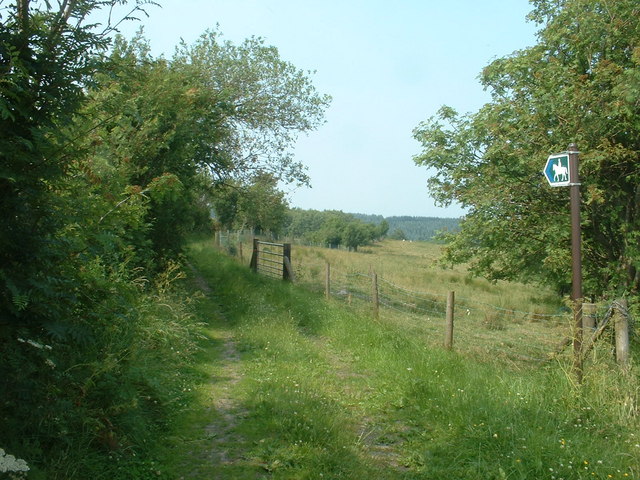
Image: © David Medcalf Taken: 3 Jul 2006
At the point where it leaves the Graianrhyd road, on the opposite side to the footpath shown in a separate photo.
Images are licensed for reuse under creativecommons.org/licenses/by-sa/2.0
Image Location
Latitude
53.105383
Longitude
-3.165051