Aber Tairnant
Introduction
The photograph on this page of Aber Tairnant by David Medcalf as part of the Geograph project.
The Geograph project started in 2005 with the aim of publishing, organising and preserving representative images for every square kilometre of Great Britain, Ireland and the Isle of Man.

There are currently over 7.5m images from over 14,400 individuals and you can help contribute to the project by visiting https://www.geograph.org.uk
Aber Tairnant
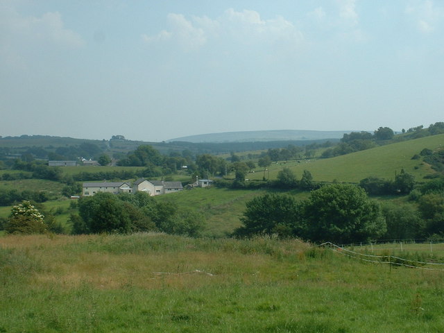
Image: © David Medcalf Taken: 3 Jul 2006
It's not clear from the 1:25,000 map which of these sets of buildings is Aber Tairnant, as the label lies between them. The one furthest away seems to be the oldest and therefore more likely to be named on the map.
Images are licensed for reuse under creativecommons.org/licenses/by-sa/2.0
Image Location
Latitude
53.091091
Longitude
-3.155705