Fallow Field near Bucklebury
Introduction
The photograph on this page of Fallow Field near Bucklebury by Pam Brophy as part of the Geograph project.
The Geograph project started in 2005 with the aim of publishing, organising and preserving representative images for every square kilometre of Great Britain, Ireland and the Isle of Man.

There are currently over 7.5m images from over 14,400 individuals and you can help contribute to the project by visiting https://www.geograph.org.uk
Fallow Field near Bucklebury
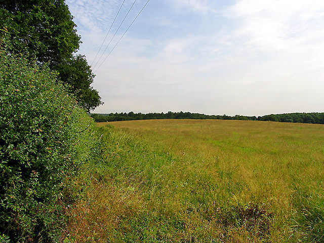
Image: © Pam Brophy Taken: 20 Jun 2005
These fields are currently lying fallow in an area which is almost all farmland. There are some individual residences, minor roads and woodland which borders on Bucklebury Common. This view looks more or less north east along the road which is to the left of the picture.
Images are licensed for reuse under creativecommons.org/licenses/by-sa/2.0
Image Location


Leaflet Map data © OpenStreetMap
Latitude
51.425395
Longitude
-1.217226