Housing Development
Introduction
The photograph on this page of Housing Development by David Williams as part of the Geograph project.
The Geograph project started in 2005 with the aim of publishing, organising and preserving representative images for every square kilometre of Great Britain, Ireland and the Isle of Man.

There are currently over 7.5m images from over 14,400 individuals and you can help contribute to the project by visiting https://www.geograph.org.uk
Housing Development
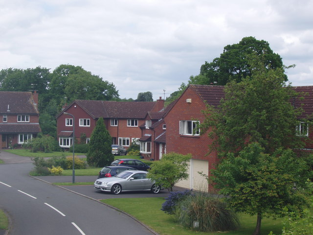
Image: © David Williams Taken: 28 May 2006
These houses were built in Kenilworth about 20 years ago and are now much sought-after as large, modern detached family homes.
Images are licensed for reuse under creativecommons.org/licenses/by-sa/2.0
Image Location
Latitude
52.342562
Longitude
-1.56107