The A640, Newhey, Milnrow
Introduction
The photograph on this page of The A640, Newhey, Milnrow by Humphrey Bolton as part of the Geograph project.
The Geograph project started in 2005 with the aim of publishing, organising and preserving representative images for every square kilometre of Great Britain, Ireland and the Isle of Man.

There are currently over 7.5m images from over 14,400 individuals and you can help contribute to the project by visiting https://www.geograph.org.uk
The A640, Newhey, Milnrow
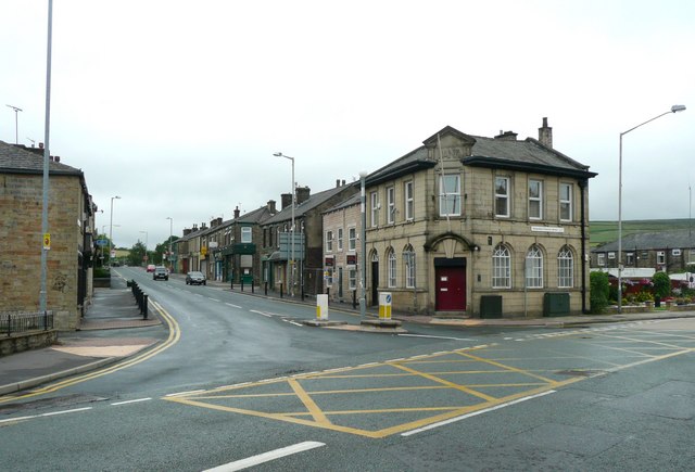
Image: © Humphrey Bolton Taken: 26 Jul 2010
Newhey Road is a familiar name in Huddersfield, but how many know where Newhey is? The alteration from 'New Hey' to Newhey' was made without my permission. The place has been called 'New Hey' for well over a century (see 'historic map' and 'New Hey Road' (constructed c. 1820) in Huddersfield). However the OS seem to be fostering a fashion for running the two words into one.
Images are licensed for reuse under creativecommons.org/licenses/by-sa/2.0
Image Location
Latitude
53.600027
Longitude
-2.098182