Walton Heath: access drive off Dorking Road
Introduction
The photograph on this page of Walton Heath: access drive off Dorking Road by Hugh Craddock as part of the Geograph project.
The Geograph project started in 2005 with the aim of publishing, organising and preserving representative images for every square kilometre of Great Britain, Ireland and the Isle of Man.

There are currently over 7.5m images from over 14,400 individuals and you can help contribute to the project by visiting https://www.geograph.org.uk
Walton Heath: access drive off Dorking Road
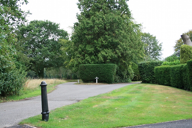
Image: © Hugh Craddock Taken: 6 Aug 2010
This access drive services three properties on the north side of Walton Heath: Stonecrop (ahead), Moorland (to the right) and Emerald Place (behind). The common extends up to the hedge on the right, and footpath Banstead 94 passes approximately along the drive ahead, and to the left of the entrance to Stonecrop.
Images are licensed for reuse under creativecommons.org/licenses/by-sa/2.0
Image Location
Latitude
51.278476
Longitude
-0.23991