Tintagel: near Trewethet Mill
Introduction
The photograph on this page of Tintagel: near Trewethet Mill by Martin Bodman as part of the Geograph project.
The Geograph project started in 2005 with the aim of publishing, organising and preserving representative images for every square kilometre of Great Britain, Ireland and the Isle of Man.

There are currently over 7.5m images from over 14,400 individuals and you can help contribute to the project by visiting https://www.geograph.org.uk
Tintagel: near Trewethet Mill
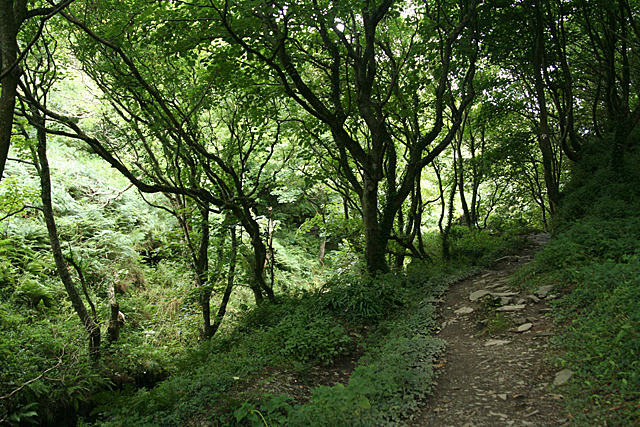
Image: © Martin Bodman Taken: 12 Aug 2010
With the leat to the mill, now dry, to the left of the path and some way above the stream in the valley bottom. The path leads to the mill and then crosses the stream to meet the South West Coast Path near the sea
Images are licensed for reuse under creativecommons.org/licenses/by-sa/2.0
Image Location
Latitude
50.671034
Longitude
-4.728309