Maystreet Cross
Introduction
The photograph on this page of Maystreet Cross by David Anstiss as part of the Geograph project.
The Geograph project started in 2005 with the aim of publishing, organising and preserving representative images for every square kilometre of Great Britain, Ireland and the Isle of Man.

There are currently over 7.5m images from over 14,400 individuals and you can help contribute to the project by visiting https://www.geograph.org.uk
Maystreet Cross
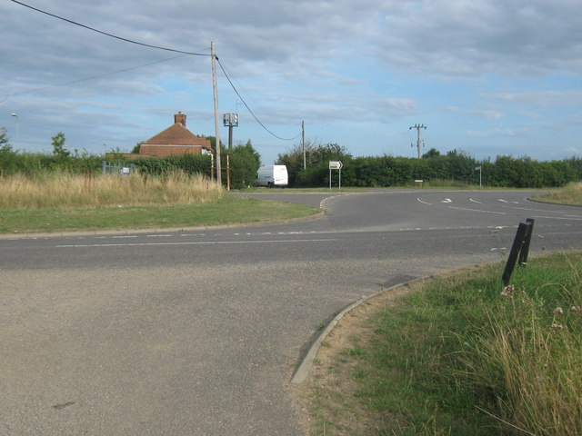
Image: © David Anstiss Taken: 8 Aug 2010
As seen from Maystreet (a track). Heart In Hand Road leads right towards Fort and Maypole. Sweechbridge Road leads left towards Bishopstone and Hillborough. A link road leads straighton towards the A299 Thanet Way.
Images are licensed for reuse under creativecommons.org/licenses/by-sa/2.0
Image Location
Latitude
51.36228
Longitude
1.170298