Heart in Hand Corner
Introduction
The photograph on this page of Heart in Hand Corner by David Anstiss as part of the Geograph project.
The Geograph project started in 2005 with the aim of publishing, organising and preserving representative images for every square kilometre of Great Britain, Ireland and the Isle of Man.

There are currently over 7.5m images from over 14,400 individuals and you can help contribute to the project by visiting https://www.geograph.org.uk
Heart in Hand Corner
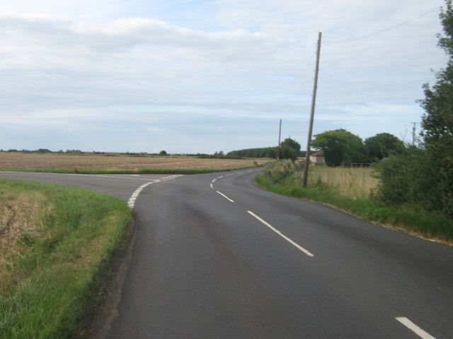
Image: © David Anstiss Taken: 8 Aug 2010
Road junction near Heart in Hand Farm (in the background). Fort Hill (from Fort and Maypole) heads straight on towards Bishopstone. Margate Road heads left towards Broomfield.
Images are licensed for reuse under creativecommons.org/licenses/by-sa/2.0
Image Location
Latitude
51.35571
Longitude
1.167115