The Sarn road and Coed y Gromlech from the B4417
Introduction
The photograph on this page of The Sarn road and Coed y Gromlech from the B4417 by Eric Jones as part of the Geograph project.
The Geograph project started in 2005 with the aim of publishing, organising and preserving representative images for every square kilometre of Great Britain, Ireland and the Isle of Man.

There are currently over 7.5m images from over 14,400 individuals and you can help contribute to the project by visiting https://www.geograph.org.uk
The Sarn road and Coed y Gromlech from the B4417
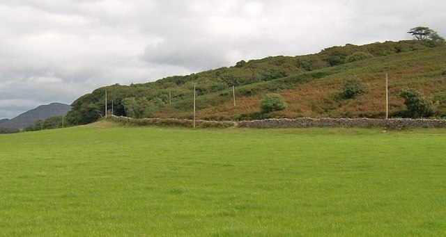
Image: © Eric Jones Taken: 10 Aug 2010
The Coed y Gromlech woodland contains a number of small disused quarries. One of these can be seen this side of the woodland.
Images are licensed for reuse under creativecommons.org/licenses/by-sa/2.0
Image Location


Leaflet Map data © OpenStreetMap
Latitude
52.881678
Longitude
-4.634108