Capel Gwilym Road approaches the turning for Thornhill Farm Shop
Introduction
The photograph on this page of Capel Gwilym Road approaches the turning for Thornhill Farm Shop by Jaggery as part of the Geograph project.
The Geograph project started in 2005 with the aim of publishing, organising and preserving representative images for every square kilometre of Great Britain, Ireland and the Isle of Man.

There are currently over 7.5m images from over 14,400 individuals and you can help contribute to the project by visiting https://www.geograph.org.uk
Capel Gwilym Road approaches the turning for Thornhill Farm Shop
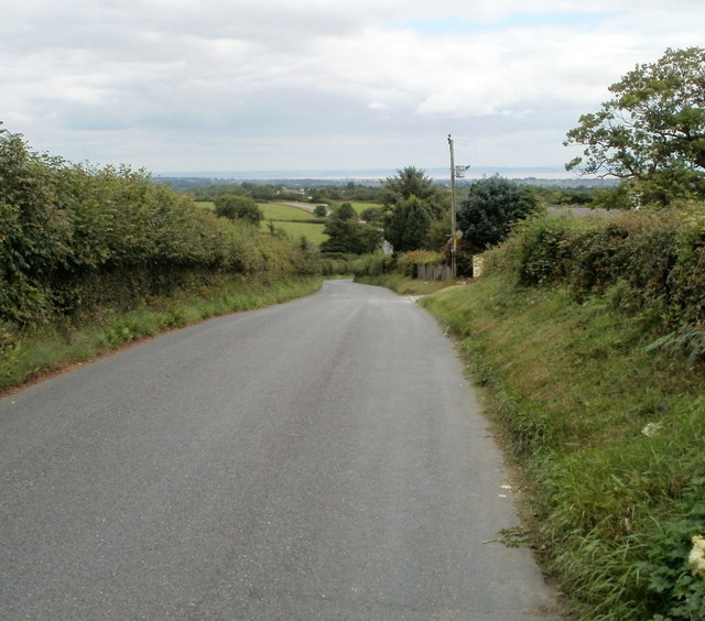
Image: © Jaggery Taken: 12 Aug 2010
The turning http://www.geograph.org.uk/photo/2009356 for the farm shop is on the right. Capel Gwilym Road is not a pleasant place for walkers. There are no pavements, and banks and hedges line the roadway. The road was moderately busy during my visit, requiring frequent hops up the bank away from traffic.
Images are licensed for reuse under creativecommons.org/licenses/by-sa/2.0
Image Location
Latitude
51.546906
Longitude
-3.204122