Saxon Shore Way in a large orchard near Highstead
Introduction
The photograph on this page of Saxon Shore Way in a large orchard near Highstead by David Anstiss as part of the Geograph project.
The Geograph project started in 2005 with the aim of publishing, organising and preserving representative images for every square kilometre of Great Britain, Ireland and the Isle of Man.

There are currently over 7.5m images from over 14,400 individuals and you can help contribute to the project by visiting https://www.geograph.org.uk
Saxon Shore Way in a large orchard near Highstead
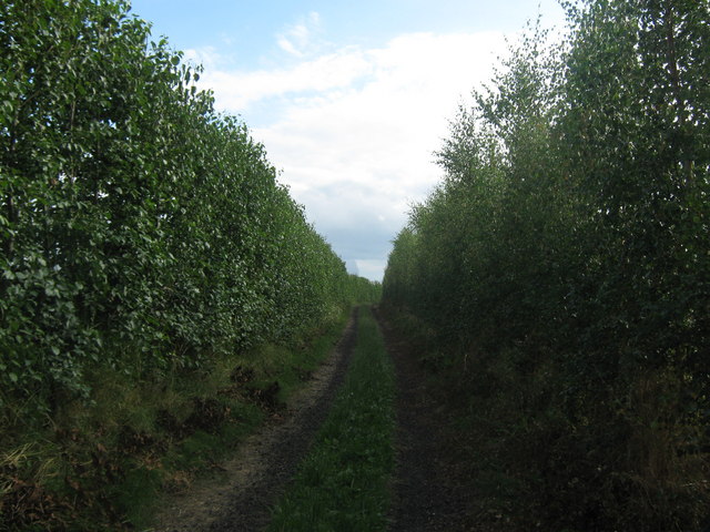
Image: © David Anstiss Taken: 8 Aug 2010
The long distance path leads from Reynolds Lane towards the village via a hedged byway.
Images are licensed for reuse under creativecommons.org/licenses/by-sa/2.0
Image Location
Latitude
51.353518
Longitude
1.188224