Field on the south side of Capel Gwilym Road
Introduction
The photograph on this page of Field on the south side of Capel Gwilym Road by Jaggery as part of the Geograph project.
The Geograph project started in 2005 with the aim of publishing, organising and preserving representative images for every square kilometre of Great Britain, Ireland and the Isle of Man.

There are currently over 7.5m images from over 14,400 individuals and you can help contribute to the project by visiting https://www.geograph.org.uk
Field on the south side of Capel Gwilym Road
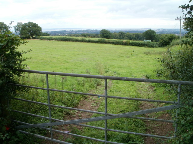
Image: © Jaggery Taken: 12 Aug 2010
Located near the western end of Capel Gwilym Road. At an elevation of about 400 feet (roughly 120 metres) above sea level, this location provides good views across parts of Cardiff, the Bristol Channel, and the Somerset coast, visible in the far distance.
Images are licensed for reuse under creativecommons.org/licenses/by-sa/2.0
Image Location
Latitude
51.546877
Longitude
-3.207006