The Arwallt
Introduction
The photograph on this page of The Arwallt by Trevor Rickard as part of the Geograph project.
The Geograph project started in 2005 with the aim of publishing, organising and preserving representative images for every square kilometre of Great Britain, Ireland and the Isle of Man.

There are currently over 7.5m images from over 14,400 individuals and you can help contribute to the project by visiting https://www.geograph.org.uk
The Arwallt
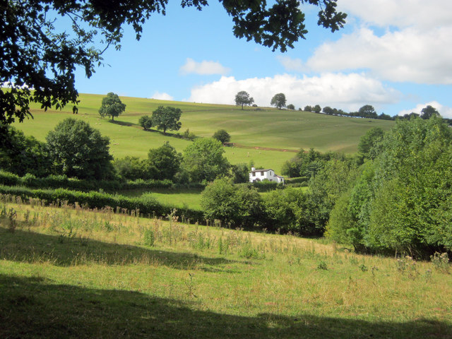
Image: © Trevor Rickard Taken: 11 Aug 2010
Looking north-west to the rounded dome of The Arwallt, which is mainly sheep grazing land. The white cottage sits on Hill Street, which traverses the hillside just below the large fields.
Images are licensed for reuse under creativecommons.org/licenses/by-sa/2.0
Image Location
Latitude
51.863713
Longitude
-2.955804