Water trough
Introduction
The photograph on this page of Water trough by Michael Dibb as part of the Geograph project.
The Geograph project started in 2005 with the aim of publishing, organising and preserving representative images for every square kilometre of Great Britain, Ireland and the Isle of Man.

There are currently over 7.5m images from over 14,400 individuals and you can help contribute to the project by visiting https://www.geograph.org.uk
Water trough
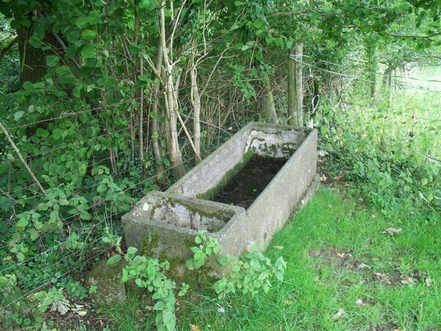
Image: © Michael Dibb Taken: 6 Aug 2010
This concrete water trough was once filled automatically controlled by a float valve. Alongside the footpath.
Images are licensed for reuse under creativecommons.org/licenses/by-sa/2.0
Image Location
Latitude
51.916497
Longitude
-1.950811