New Church Road, SE5 (2)
Introduction
The photograph on this page of New Church Road, SE5 (2) by Danny P Robinson as part of the Geograph project.
The Geograph project started in 2005 with the aim of publishing, organising and preserving representative images for every square kilometre of Great Britain, Ireland and the Isle of Man.

There are currently over 7.5m images from over 14,400 individuals and you can help contribute to the project by visiting https://www.geograph.org.uk
New Church Road, SE5 (2)
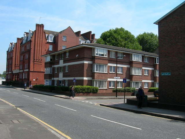
Image: © Danny P Robinson Taken: 12 Jul 2006
Sears Street http://www.geograph.org.uk/photo/182763 is the first road on the right, Evelina Mansions http://www.geograph.org.uk/photo/165920 is the furthest block of flats. Burgess Park http://www.geograph.org.uk/photo/182760 is out of shot on the left. View is towards Southampton Way. There was once a scrapyard on the site of the nearest block of flats (centre of shot). It gained some notoriety when it was owned by the Richardson brothers who used it as a base for their criminal activities. These included torturing business associates with whom they had fallen out.
Images are licensed for reuse under creativecommons.org/licenses/by-sa/2.0
Image Location
Latitude
51.480023
Longitude
-0.091891