Southbourne: clifftop view towards town
Introduction
The photograph on this page of Southbourne: clifftop view towards town by Chris Downer as part of the Geograph project.
The Geograph project started in 2005 with the aim of publishing, organising and preserving representative images for every square kilometre of Great Britain, Ireland and the Isle of Man.

There are currently over 7.5m images from over 14,400 individuals and you can help contribute to the project by visiting https://www.geograph.org.uk
Southbourne: clifftop view towards town
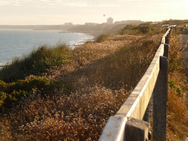
Image: © Chris Downer Taken: 18 Jul 2010
Looking west along the Southbourne Overcliff, with the buildings of Bournemouth town centre prominent in the distance - plus, of course, the unmistakable silhouette of the tethered balloon.
Images are licensed for reuse under creativecommons.org/licenses/by-sa/2.0
Image Location


Leaflet Map data © OpenStreetMap
Latitude
50.720987
Longitude
-1.807432