Cemetery gatelodge, Banbridge (2)
Introduction
The photograph on this page of Cemetery gatelodge, Banbridge (2) by Albert Bridge as part of the Geograph project.
The Geograph project started in 2005 with the aim of publishing, organising and preserving representative images for every square kilometre of Great Britain, Ireland and the Isle of Man.

There are currently over 7.5m images from over 14,400 individuals and you can help contribute to the project by visiting https://www.geograph.org.uk
Cemetery gatelodge, Banbridge (2)
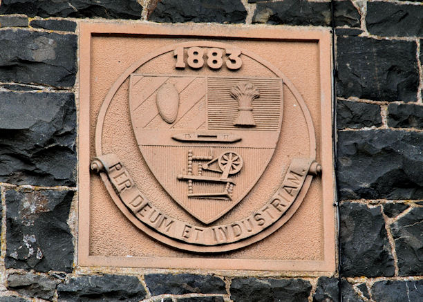
Image: © Albert Bridge Taken: 12 Aug 2010
The Coat of Arms and date of building, on the gatelodge Image, on the Newry Road. I think, given the date, that the Arms are those of the Banbridge Town Commissioners.
Images are licensed for reuse under creativecommons.org/licenses/by-sa/2.0
Image Location
Latitude
54.338974
Longitude
-6.277219