Disused pump at Branston
Introduction
The photograph on this page of Disused pump at Branston by Richard Green as part of the Geograph project.
The Geograph project started in 2005 with the aim of publishing, organising and preserving representative images for every square kilometre of Great Britain, Ireland and the Isle of Man.

There are currently over 7.5m images from over 14,400 individuals and you can help contribute to the project by visiting https://www.geograph.org.uk
Disused pump at Branston
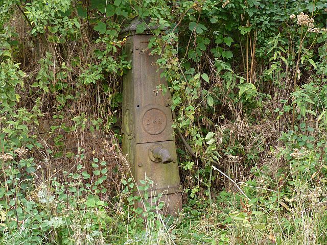
Image: © Richard Green Taken: 11 Aug 2010
This pump is by the footpath continuation of the lane called The Rock. Mains water only came to this village in 1958.
Images are licensed for reuse under creativecommons.org/licenses/by-sa/2.0
Image Location
Latitude
52.854018
Longitude
-0.797056