Hillcrest School and Community College, Netherton
Introduction
The photograph on this page of Hillcrest School and Community College, Netherton by Brian Clift as part of the Geograph project.
The Geograph project started in 2005 with the aim of publishing, organising and preserving representative images for every square kilometre of Great Britain, Ireland and the Isle of Man.

There are currently over 7.5m images from over 14,400 individuals and you can help contribute to the project by visiting https://www.geograph.org.uk
Hillcrest School and Community College, Netherton
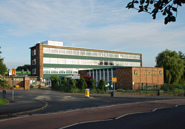
Image: © Brian Clift Taken: 25 Jul 2010
Located at the junction of Hill Street and Simms Lane.
Images are licensed for reuse under creativecommons.org/licenses/by-sa/2.0
Image Location


Leaflet Map data © OpenStreetMap
Latitude
52.493027
Longitude
-2.088327