Lane to Shuart farm
Introduction
The photograph on this page of Lane to Shuart farm by David Anstiss as part of the Geograph project.
The Geograph project started in 2005 with the aim of publishing, organising and preserving representative images for every square kilometre of Great Britain, Ireland and the Isle of Man.

There are currently over 7.5m images from over 14,400 individuals and you can help contribute to the project by visiting https://www.geograph.org.uk
Lane to Shuart farm
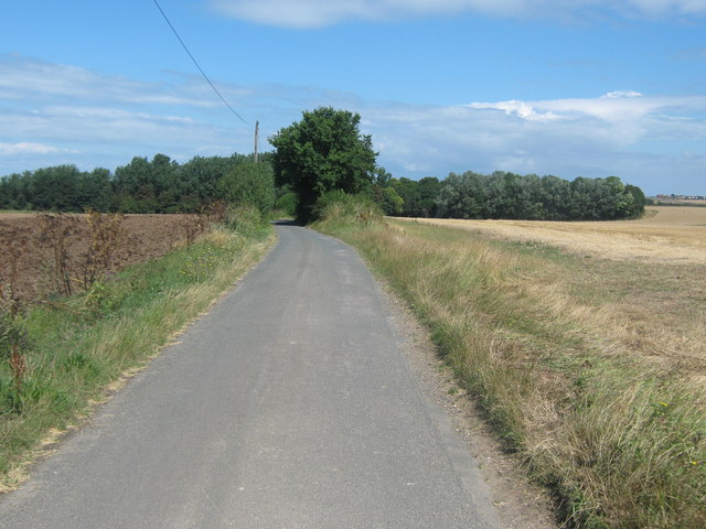
Image: © David Anstiss Taken: 8 Aug 2010
This lane leads from Potten Street towards the farm in Wade Marsh. It is also used by the Wantsum Walk (long distance path) leading from St Nicholas at Wade towards Minnis Bay near Birchington.
Images are licensed for reuse under creativecommons.org/licenses/by-sa/2.0
Image Location
Latitude
51.361628
Longitude
1.256315