Saxon Shore Way turns near Mill House
Introduction
The photograph on this page of Saxon Shore Way turns near Mill House by David Anstiss as part of the Geograph project.
The Geograph project started in 2005 with the aim of publishing, organising and preserving representative images for every square kilometre of Great Britain, Ireland and the Isle of Man.

There are currently over 7.5m images from over 14,400 individuals and you can help contribute to the project by visiting https://www.geograph.org.uk
Saxon Shore Way turns near Mill House
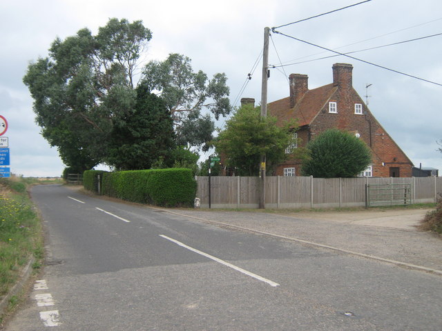
Image: © David Anstiss Taken: 8 Aug 2010
The long distance path heads right of Brook Lane towards Reculver. The Mill House on the right is near the site of a disused and demolished windmill. See http://en.wikipedia.org/wiki/Chislet_Windmill for more details about the former windmill. Including 'During the Second World War, Barnes Wallis lived in the Mill House, and watched the tests of the bouncing bomb at nearby Reculver from the top of the mill'.
Images are licensed for reuse under creativecommons.org/licenses/by-sa/2.0
Image Location
Latitude
51.366211
Longitude
1.194422