Lane junction near Roman Galley
Introduction
The photograph on this page of Lane junction near Roman Galley by David Anstiss as part of the Geograph project.
The Geograph project started in 2005 with the aim of publishing, organising and preserving representative images for every square kilometre of Great Britain, Ireland and the Isle of Man.

There are currently over 7.5m images from over 14,400 individuals and you can help contribute to the project by visiting https://www.geograph.org.uk
Lane junction near Roman Galley
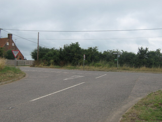
Image: © David Anstiss Taken: 8 Aug 2010
A link road leads over the A299 Dual carriageway from Reynolds Farm Lane towards Brook Lane. Brook Lane leads left towards Brook Farm and right to the converted pub of Roman Galley and to the A299. The Saxon Shore Way heads left towards Reculver from Highstead.
Images are licensed for reuse under creativecommons.org/licenses/by-sa/2.0
Image Location
Latitude
51.366024
Longitude
1.194697