Rookery Farm from Gravel Hill
Introduction
The photograph on this page of Rookery Farm from Gravel Hill by Neil Owen as part of the Geograph project.
The Geograph project started in 2005 with the aim of publishing, organising and preserving representative images for every square kilometre of Great Britain, Ireland and the Isle of Man.

There are currently over 7.5m images from over 14,400 individuals and you can help contribute to the project by visiting https://www.geograph.org.uk
Rookery Farm from Gravel Hill
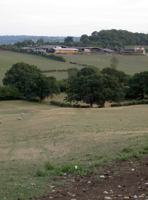
Image: © Neil Owen Taken: 8 Aug 2010
The Samaritans Way South West runs along the ridgeway, past the farm and down into Chew Stoke.
Images are licensed for reuse under creativecommons.org/licenses/by-sa/2.0
Image Location


Leaflet Map data © OpenStreetMap
Latitude
51.341051
Longitude
-2.651585