The B4417 below Capel Tudweiliog
Introduction
The photograph on this page of The B4417 below Capel Tudweiliog by Eric Jones as part of the Geograph project.
The Geograph project started in 2005 with the aim of publishing, organising and preserving representative images for every square kilometre of Great Britain, Ireland and the Isle of Man.

There are currently over 7.5m images from over 14,400 individuals and you can help contribute to the project by visiting https://www.geograph.org.uk
The B4417 below Capel Tudweiliog
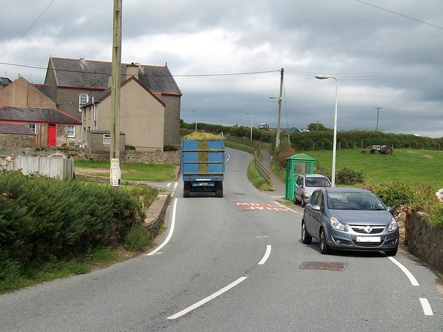
Image: © Eric Jones Taken: 10 Aug 2010
The B4417 is a very narrow and twisty road which forms the main street of the village of Tudweiliog. A fenced off public footpath has been constructed along a portion of the right hand side of the road.
Images are licensed for reuse under creativecommons.org/licenses/by-sa/2.0
Image Location


Leaflet Map data © OpenStreetMap
Latitude
52.897463
Longitude
-4.623765