Dorket Head trig point
Introduction
The photograph on this page of Dorket Head trig point by Alan Murray-Rust as part of the Geograph project.
The Geograph project started in 2005 with the aim of publishing, organising and preserving representative images for every square kilometre of Great Britain, Ireland and the Isle of Man.

There are currently over 7.5m images from over 14,400 individuals and you can help contribute to the project by visiting https://www.geograph.org.uk
Dorket Head trig point
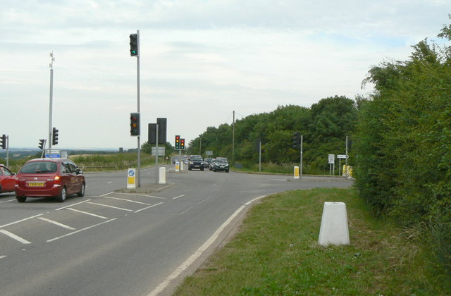
Image: © Alan Murray-Rust Taken: 20 Jul 2010
The triangulation pillar is not as short as it looks as the ground level has been raised, and is now about half-way up the flush bracket (on the right hand face). Originally this location would have commanded extensive views between east and south west, with the nearest higher ground being on the Leicestershire Wolds, Charnwood Forest and Needwood Forest. Although only of modest height (approx 145 metres), in the direction of view of this picture the next higher ground is the Ural Mountains of Russia.
Images are licensed for reuse under creativecommons.org/licenses/by-sa/2.0
Image Location
Latitude
53.021321
Longitude
-1.115026