George's Lane
Introduction
The photograph on this page of George's Lane by Alan Murray-Rust as part of the Geograph project.
The Geograph project started in 2005 with the aim of publishing, organising and preserving representative images for every square kilometre of Great Britain, Ireland and the Isle of Man.

There are currently over 7.5m images from over 14,400 individuals and you can help contribute to the project by visiting https://www.geograph.org.uk
George's Lane
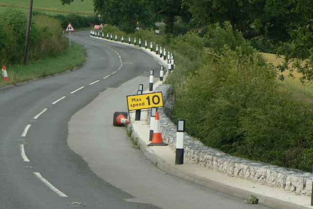
Image: © Alan Murray-Rust Taken: 20 Jul 2010
This is the main road from Nottingham to Calverton, but was closed to through traffic at this time for major remedial work, some of which can be seen here.
Images are licensed for reuse under creativecommons.org/licenses/by-sa/2.0
Image Location
Latitude
53.023825
Longitude
-1.113186