Bench mark, Mansfield Road
Introduction
The photograph on this page of Bench mark, Mansfield Road by Alan Murray-Rust as part of the Geograph project.
The Geograph project started in 2005 with the aim of publishing, organising and preserving representative images for every square kilometre of Great Britain, Ireland and the Isle of Man.

There are currently over 7.5m images from over 14,400 individuals and you can help contribute to the project by visiting https://www.geograph.org.uk
Bench mark, Mansfield Road
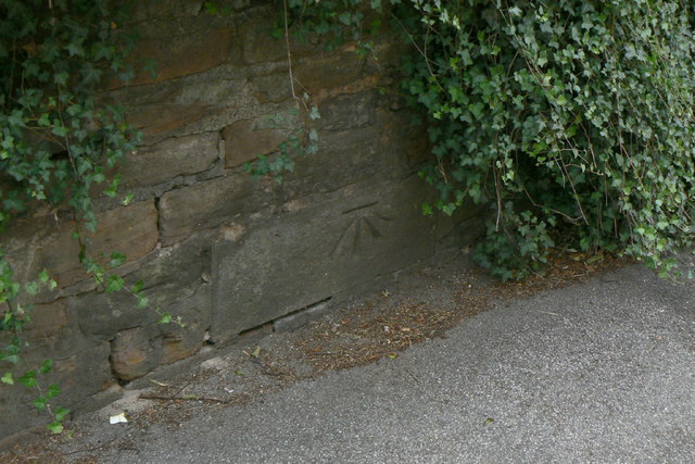
Image: © Alan Murray-Rust Taken: 20 Jul 2010
A piece of hard stone has been specifically built into the wall for this bench mark as the local sandstone of which the rest of the wall is constructed is soft and weathers easily.
Images are licensed for reuse under creativecommons.org/licenses/by-sa/2.0
Image Location
Latitude
53.009161
Longitude
-1.136141