Kirkinner
Introduction
The photograph on this page of Kirkinner by Andy Farrington as part of the Geograph project.
The Geograph project started in 2005 with the aim of publishing, organising and preserving representative images for every square kilometre of Great Britain, Ireland and the Isle of Man.

There are currently over 7.5m images from over 14,400 individuals and you can help contribute to the project by visiting https://www.geograph.org.uk
Kirkinner
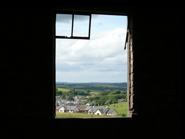
Image: © Andy Farrington Taken: 16 Jul 2010
Similar view of Kirkinner Image taken through two different windows in this WW2 building. The Galloway Hills are still on the horizon.
Images are licensed for reuse under creativecommons.org/licenses/by-sa/2.0
Image Location


Leaflet Map data © OpenStreetMap
Latitude
54.827267
Longitude
-4.450217