Langbank Avenue
Introduction
The photograph on this page of Langbank Avenue by Alan Murray-Rust as part of the Geograph project.
The Geograph project started in 2005 with the aim of publishing, organising and preserving representative images for every square kilometre of Great Britain, Ireland and the Isle of Man.

There are currently over 7.5m images from over 14,400 individuals and you can help contribute to the project by visiting https://www.geograph.org.uk
Langbank Avenue
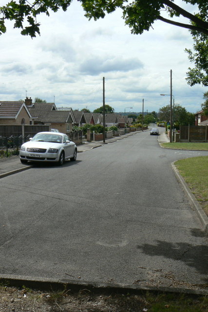
Image: © Alan Murray-Rust Taken: 20 Jul 2010
This marks the southern limit of the original Rise Park development, readily discernable on maps. See the description on this image http://www.geograph.org.uk/photo/2004844
Images are licensed for reuse under creativecommons.org/licenses/by-sa/2.0
Image Location
Latitude
53.00971
Longitude
-1.175477