Bracadale Road
Introduction
The photograph on this page of Bracadale Road by Alan Murray-Rust as part of the Geograph project.
The Geograph project started in 2005 with the aim of publishing, organising and preserving representative images for every square kilometre of Great Britain, Ireland and the Isle of Man.

There are currently over 7.5m images from over 14,400 individuals and you can help contribute to the project by visiting https://www.geograph.org.uk
Bracadale Road
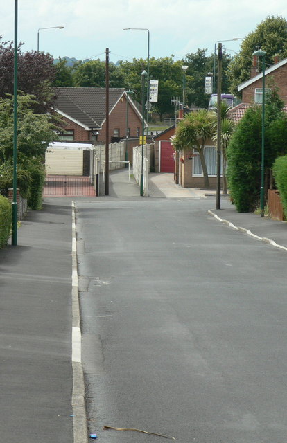
Image: © Alan Murray-Rust Taken: 20 Jul 2010
The western end of this road. The alignment carries across Bestwood Park Drive - marked by the trees and lighting columns - as Langbank Avenue and Rise Park Road, marking the southern edge of the original Rise Park development. The estate appears to have followed the boundaries of the former Rise Farm land.
Images are licensed for reuse under creativecommons.org/licenses/by-sa/2.0
Image Location
Latitude
53.010315
Longitude
-1.172037