Brick Field (1)
Introduction
The photograph on this page of Brick Field (1) by Simon Carey as part of the Geograph project.
The Geograph project started in 2005 with the aim of publishing, organising and preserving representative images for every square kilometre of Great Britain, Ireland and the Isle of Man.

There are currently over 7.5m images from over 14,400 individuals and you can help contribute to the project by visiting https://www.geograph.org.uk
Brick Field (1)
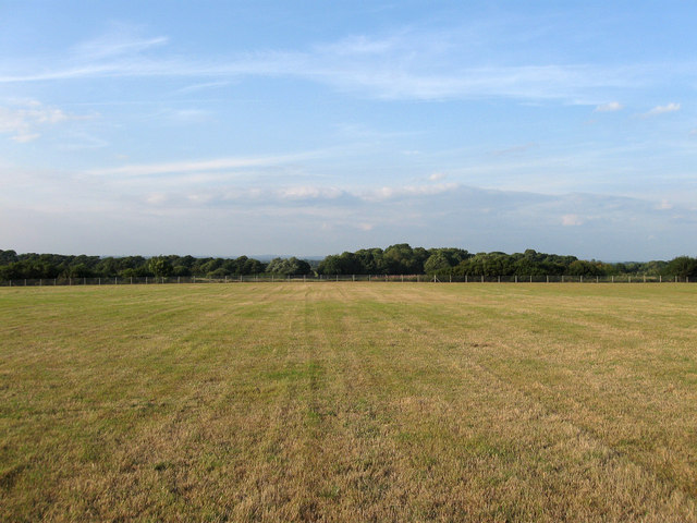
Image: © Simon Carey Taken: 8 Aug 2010
The name of the field according to the 1840 tithe map. The field was split in two by the railway in 1846 with the southern portion of the field amalgamated with Moat Field, the former boundary just visible on the ground by a small hump that runs across the foreground.
Images are licensed for reuse under creativecommons.org/licenses/by-sa/2.0
Image Location
Latitude
50.848322
Longitude
0.142902