Great Warford Baptist Chapel
Introduction
The photograph on this page of Great Warford Baptist Chapel by David Dixon as part of the Geograph project.
The Geograph project started in 2005 with the aim of publishing, organising and preserving representative images for every square kilometre of Great Britain, Ireland and the Isle of Man.

There are currently over 7.5m images from over 14,400 individuals and you can help contribute to the project by visiting https://www.geograph.org.uk
Great Warford Baptist Chapel
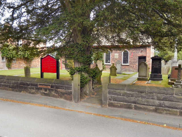
Image: © David Dixon Taken: 25 Jul 2010
This Grade II listed building in Merryman's Lane, was converted into a chapel in 1712, having originally been a barn and cottage. More information at http://en.wikipedia.org/wiki/Baptist_Chapel,_Great_Warford
Images are licensed for reuse under creativecommons.org/licenses/by-sa/2.0
Image Location
Latitude
53.289786
Longitude
-2.276939