Railway at Blackminster
Introduction
The photograph on this page of Railway at Blackminster by Philip Halling as part of the Geograph project.
The Geograph project started in 2005 with the aim of publishing, organising and preserving representative images for every square kilometre of Great Britain, Ireland and the Isle of Man.

There are currently over 7.5m images from over 14,400 individuals and you can help contribute to the project by visiting https://www.geograph.org.uk
Railway at Blackminster
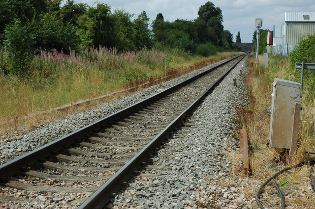
Image: © Philip Halling Taken: 8 Aug 2010
The railway line viewed from the level crossing at Blackminster. A Worcester bound train is just visible in the distance.
Images are licensed for reuse under creativecommons.org/licenses/by-sa/2.0
Image Location
Latitude
52.10212
Longitude
-1.896591