Approach to Tredington
Introduction
The photograph on this page of Approach to Tredington by Sarah Charlesworth as part of the Geograph project.
The Geograph project started in 2005 with the aim of publishing, organising and preserving representative images for every square kilometre of Great Britain, Ireland and the Isle of Man.

There are currently over 7.5m images from over 14,400 individuals and you can help contribute to the project by visiting https://www.geograph.org.uk
Approach to Tredington
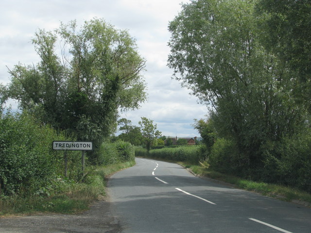
Image: © Sarah Charlesworth Taken: 5 Aug 2010
Note that the battered sign in Image has been replaced.
Images are licensed for reuse under creativecommons.org/licenses/by-sa/2.0
Image Location
Latitude
51.966037
Longitude
-2.152782