A338 at Boscombe
Introduction
The photograph on this page of A338 at Boscombe by Derek Harper as part of the Geograph project.
The Geograph project started in 2005 with the aim of publishing, organising and preserving representative images for every square kilometre of Great Britain, Ireland and the Isle of Man.

There are currently over 7.5m images from over 14,400 individuals and you can help contribute to the project by visiting https://www.geograph.org.uk
A338 at Boscombe
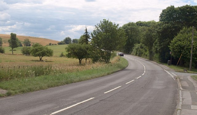
Image: © Derek Harper Taken: 2 Aug 2010
The main road curves past the side turning (right) into the village, a turning that rejoins the main road after both have crossed the River Bourne.
Images are licensed for reuse under creativecommons.org/licenses/by-sa/2.0
Image Location
Latitude
51.146043
Longitude
-1.713607