Course of River Bourne
Introduction
The photograph on this page of Course of River Bourne by Derek Harper as part of the Geograph project.
The Geograph project started in 2005 with the aim of publishing, organising and preserving representative images for every square kilometre of Great Britain, Ireland and the Isle of Man.

There are currently over 7.5m images from over 14,400 individuals and you can help contribute to the project by visiting https://www.geograph.org.uk
Course of River Bourne
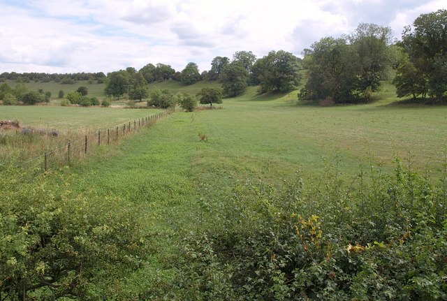
Image: © Derek Harper Taken: 2 Aug 2010
The same view upstream from Boscombe Bridge in winter is shown at Image; the Bourne is currently empty of water here. The eastern valley side is steeply pronounced here as the river meander impinges on it.
Images are licensed for reuse under creativecommons.org/licenses/by-sa/2.0
Image Location
Latitude
51.147023
Longitude
-1.710027