Teifi Inn and lane to Ffair-Rhos, Ceredigion
Introduction
The photograph on this page of Teifi Inn and lane to Ffair-Rhos, Ceredigion by Roger D Kidd as part of the Geograph project.
The Geograph project started in 2005 with the aim of publishing, organising and preserving representative images for every square kilometre of Great Britain, Ireland and the Isle of Man.

There are currently over 7.5m images from over 14,400 individuals and you can help contribute to the project by visiting https://www.geograph.org.uk
Teifi Inn and lane to Ffair-Rhos, Ceredigion
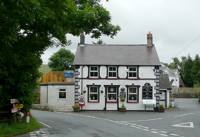
Image: © Roger D Kidd Taken: 21 Jul 2010
Pont-rhyd-y-groes and Devil's Bridge are to the left, along the B4343. Ahead is the lane to Ffair-Rhos. A hostelry at such an obscure cross-roads must have a history. Watch this space. Update: closed and for sale, July 2011.
Images are licensed for reuse under creativecommons.org/licenses/by-sa/2.0
Image Location
Latitude
52.295726
Longitude
-3.850628