The Square, Kintore
Introduction
The photograph on this page of The Square, Kintore by C L T Smith as part of the Geograph project.
The Geograph project started in 2005 with the aim of publishing, organising and preserving representative images for every square kilometre of Great Britain, Ireland and the Isle of Man.

There are currently over 7.5m images from over 14,400 individuals and you can help contribute to the project by visiting https://www.geograph.org.uk
The Square, Kintore
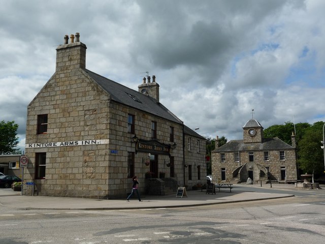
Image: © C L T Smith Taken: 4 Aug 2010
The heart of this historic Royal Burgh, now rather quieter than it once was, since the town was bypassed in the late 1990s.
Images are licensed for reuse under creativecommons.org/licenses/by-sa/2.0
Image Location
Latitude
57.236581
Longitude
-2.345556