Pottery Lane
Introduction
The photograph on this page of Pottery Lane by Gerald England as part of the Geograph project.
The Geograph project started in 2005 with the aim of publishing, organising and preserving representative images for every square kilometre of Great Britain, Ireland and the Isle of Man.

There are currently over 7.5m images from over 14,400 individuals and you can help contribute to the project by visiting https://www.geograph.org.uk
Pottery Lane
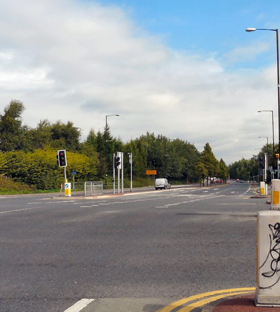
Image: © Gerald England Taken: 9 Aug 2010
The A6010 Manchester Inner Ring Road from Hyde Road.
Images are licensed for reuse under creativecommons.org/licenses/by-sa/2.0
Image Location
Latitude
53.465801
Longitude
-2.19578