Ingestre Hall, Staffordshire, from behind the beech hedge
Introduction
The photograph on this page of Ingestre Hall, Staffordshire, from behind the beech hedge by Liz Taylor as part of the Geograph project.
The Geograph project started in 2005 with the aim of publishing, organising and preserving representative images for every square kilometre of Great Britain, Ireland and the Isle of Man.

There are currently over 7.5m images from over 14,400 individuals and you can help contribute to the project by visiting https://www.geograph.org.uk
Ingestre Hall, Staffordshire, from behind the beech hedge
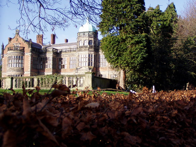
Image: © Liz Taylor Taken: Unknown
This is the remodelled front, on a sunny autumn day. Lots more information on the hall and its construction etc here: http://www.tixall-ingestre-andrews.me.uk/ingestre/inghall.html
Images are licensed for reuse under creativecommons.org/licenses/by-sa/2.0
Image Location


Leaflet Map data © OpenStreetMap
Latitude
52.81947
Longitude
-2.037351