St Leonards, village hall
Introduction
The photograph on this page of St Leonards, village hall by Mike Faherty as part of the Geograph project.
The Geograph project started in 2005 with the aim of publishing, organising and preserving representative images for every square kilometre of Great Britain, Ireland and the Isle of Man.

There are currently over 7.5m images from over 14,400 individuals and you can help contribute to the project by visiting https://www.geograph.org.uk
St Leonards, village hall
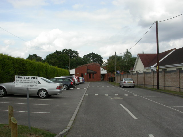
Image: © Mike Faherty Taken: 8 Aug 2010
Off Braeside Road; village hall, parish office and youth club. Activities scheduled for this week: bridge, internet café, council meeting, Good Companions, whist. http://www.stleonardshall.org.uk/
Images are licensed for reuse under creativecommons.org/licenses/by-sa/2.0
Image Location
Latitude
50.832006
Longitude
-1.841481