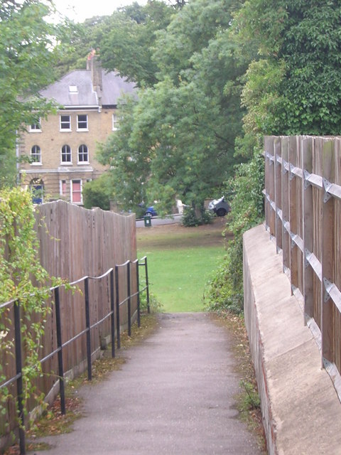
Fox Hill playing field: path through from Belvedere Road
Introduction
The photograph on this page of Fox Hill playing field: path through from Belvedere Road by Christopher Hilton as part of the Geograph project.
The Geograph project started in 2005 with the aim of publishing, organising and preserving representative images for every square kilometre of Great Britain, Ireland and the Isle of Man.
There are currently over 7.5m images from over 14,400 individuals and you can help contribute to the project by visiting https://www.geograph.org.uk

Image: © Christopher Hilton Taken: 8 Aug 2010
This playing field lies halfway down Fox Hill, on the north-eastern (Bromley / Kent) side. During the 1990s access from Belvedere Road was by squeezing through from the garages behind a large house there, next to a derelict plot. When the derelict patch (to the left of the current photograph) was developed shortly after 2000 there was considerable debate as to whether this route through was a public right of way. In the end the new development made the route through definite and lasting with this little path.

