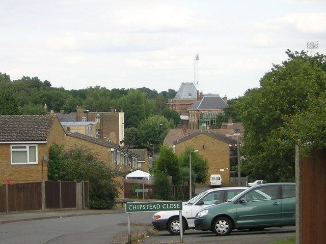
Upper Norwood: Chipstead Close and Crystal Palace station
Introduction
The photograph on this page of Upper Norwood: Chipstead Close and Crystal Palace station by Christopher Hilton as part of the Geograph project.
The Geograph project started in 2005 with the aim of publishing, organising and preserving representative images for every square kilometre of Great Britain, Ireland and the Isle of Man.
There are currently over 7.5m images from over 14,400 individuals and you can help contribute to the project by visiting https://www.geograph.org.uk

Image: © Christopher Hilton Taken: 8 Aug 2010
The housing association flats here were built after some dilapidated Victorian terraces were cleared in the 1970s. At the same time, roads that had run straight through the area were converted to slightly curved culs-de-sac. Chipstead Close is the southern half of a road that used to run through to the Paxton Arms, whose white-painted side can be seen in the middle distance. Beyond, on the other side of Anerley Hill, is the pointed roof of Crystal Palace station.

