Wheatfield by Clay's Farm
Introduction
The photograph on this page of Wheatfield by Clay's Farm by Colin Smith as part of the Geograph project.
The Geograph project started in 2005 with the aim of publishing, organising and preserving representative images for every square kilometre of Great Britain, Ireland and the Isle of Man.

There are currently over 7.5m images from over 14,400 individuals and you can help contribute to the project by visiting https://www.geograph.org.uk
Wheatfield by Clay's Farm
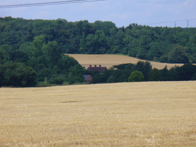
Image: © Colin Smith Taken: 8 Aug 2010
Expansive field with a ripe wheat crop on the chalky north-east Hampshire Downland. Looking from East Worldham to Clay's Farm with Monk Wood in the distance. http://worldham.org/
Images are licensed for reuse under creativecommons.org/licenses/by-sa/2.0
Image Location


Leaflet Map data © OpenStreetMap
Latitude
51.143066
Longitude
-0.933975