Traffic in Richmond
Introduction
The photograph on this page of Traffic in Richmond by Christine Johnstone as part of the Geograph project.
The Geograph project started in 2005 with the aim of publishing, organising and preserving representative images for every square kilometre of Great Britain, Ireland and the Isle of Man.

There are currently over 7.5m images from over 14,400 individuals and you can help contribute to the project by visiting https://www.geograph.org.uk
Traffic in Richmond
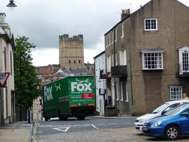
Image: © Christine Johnstone Taken: 3 Aug 2010
A lorry negotiating the sharp hillside bend from Dundas Street to Frenchgate.
Images are licensed for reuse under creativecommons.org/licenses/by-sa/2.0
Image Location
Latitude
54.404711
Longitude
-1.735