Tredegar Lock canal bridge
Introduction
The photograph on this page of Tredegar Lock canal bridge by Jaggery as part of the Geograph project.
The Geograph project started in 2005 with the aim of publishing, organising and preserving representative images for every square kilometre of Great Britain, Ireland and the Isle of Man.

There are currently over 7.5m images from over 14,400 individuals and you can help contribute to the project by visiting https://www.geograph.org.uk
Tredegar Lock canal bridge
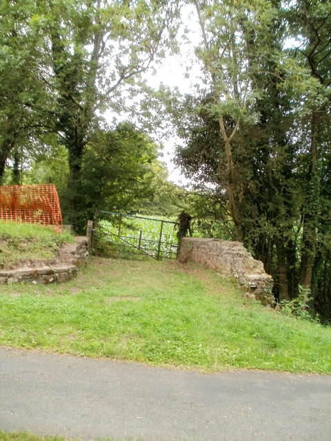
Image: © Jaggery Taken: 30 Jul 2010
Looking towards fields http://www.geograph.org.uk/photo/2001956 across the canal bridge at the former Tredegar Lock on the disused Monnouthshire and Brecon canal.
Images are licensed for reuse under creativecommons.org/licenses/by-sa/2.0
Image Location
Latitude
51.626855
Longitude
-3.022762