View to cornfield
Introduction
The photograph on this page of View to cornfield by Christine Johnstone as part of the Geograph project.
The Geograph project started in 2005 with the aim of publishing, organising and preserving representative images for every square kilometre of Great Britain, Ireland and the Isle of Man.

There are currently over 7.5m images from over 14,400 individuals and you can help contribute to the project by visiting https://www.geograph.org.uk
View to cornfield
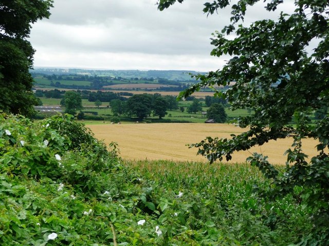
Image: © Christine Johnstone Taken: 3 Aug 2010
Immediately beyond the hedge is a crop of sweetcorn, then it appears to be wheat.
Images are licensed for reuse under creativecommons.org/licenses/by-sa/2.0
Image Location
Latitude
54.341339
Longitude
-1.691571