Wheat at Abingworth
Introduction
The photograph on this page of Wheat at Abingworth by Graham Horn as part of the Geograph project.
The Geograph project started in 2005 with the aim of publishing, organising and preserving representative images for every square kilometre of Great Britain, Ireland and the Isle of Man.

There are currently over 7.5m images from over 14,400 individuals and you can help contribute to the project by visiting https://www.geograph.org.uk
Wheat at Abingworth
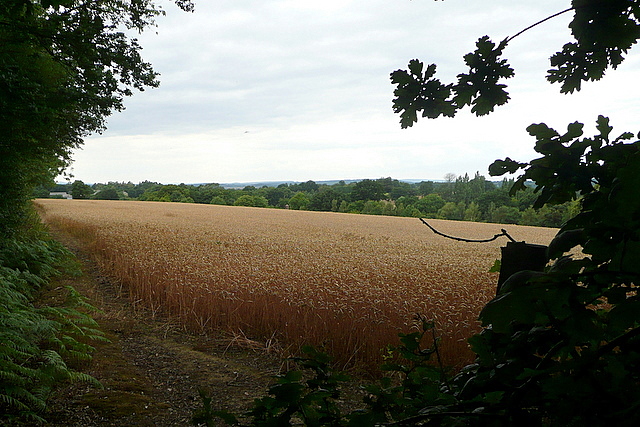
Image: © Graham Horn Taken: 1 Aug 2010
A footpath climbs up above the deep road cutting at Jacket's Hill, south of Abingworth, then turns west to run along the south side of this arable land.
Images are licensed for reuse under creativecommons.org/licenses/by-sa/2.0
Image Location
Latitude
50.935666
Longitude
-0.435911