Shropshire Union Canal at Wardle Farm Bridge
Introduction
The photograph on this page of Shropshire Union Canal at Wardle Farm Bridge by Eirian Evans as part of the Geograph project.
The Geograph project started in 2005 with the aim of publishing, organising and preserving representative images for every square kilometre of Great Britain, Ireland and the Isle of Man.

There are currently over 7.5m images from over 14,400 individuals and you can help contribute to the project by visiting https://www.geograph.org.uk
Shropshire Union Canal at Wardle Farm Bridge
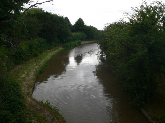
Image: © Eirian Evans Taken: 4 Jul 2010
Another view of the canal Image], looking east. This is part of the Chester Canal, which runs for 19 miles through 14 locks from Nantwich Basin (where it joins the Shropshire Union Canal (Birmingham and Liverpool Junction Canal - Main Line)) to River Dee Branch Junction (where it joins the Shropshire Union Canal (Wirral Line) and the Shropshire Union Canal (Dee Branch)).
Images are licensed for reuse under creativecommons.org/licenses/by-sa/2.0
Image Location
Latitude
53.11314
Longitude
-2.587681